
Texas City ZIP Code Service Areas
Official postal material lists three Texas City ZIPs: 77590, 77591, and 77592. The listed ZIPs identify delivery areas, not a neighborhood map or an official limit line. USPS does not publish a neighborhood-by-neighborhood breakdown for these three areas in the material reviewed, so a street and unit still need address-level verification. This Texas City ZIP code directory keeps that limit visible instead of assigning an unsourced neighborhood to a postal code.
| Postal ZIP | Listed service area | Postal contact | Record-use note |
|---|---|---|---|
| 77590 | Texas City mailing addresses in its delivery area | Texas City Post Office, 2002 11th Avenue N | Confirm street and unit with USPS before relying on the label. |
| 77591 | Texas City mailing addresses in its delivery area | Texas City postal routing, exact station detail was not located | County and civic addresses may use this ZIP without proving city limits. |
| 77592 | Texas City mailing addresses in its delivery area | Texas City postal routing, exact station detail was not located | Some city facilities use it; verify each address rather than infer an area. |
The USPS Postal Bulletin listing is the source for the three listed Texas City ZIPs.
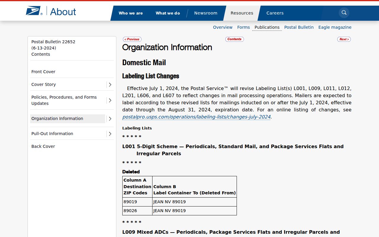
That postal listing establishes the codes, while a live address lookup resolves whether a particular delivery address belongs to one of them.
Note: A postal city label helps route mail, but it cannot by itself establish where a parcel sits for city or county records.
Confirming a Texas City ZIP at the Address
Use the USPS address lookup with the street address, city, and state. Its result supplies the ZIP for a deliverable address. It is the best first check when a record shows an older, abbreviated, or uncertain postal label. USPS is not a public boundary download, and the research did not identify a local ZIP realignment year, a ZIP split history, or a confirmed unique or PO-box-only classification for these Texas City codes.
| USPS lookup field | Use for a Texas City address |
|---|---|
| Address | Enter the street number and name, plus a unit where it is part of the delivery address. |
| City | Enter Texas City as the postal city being checked. |
| State | Select Texas. |
| Find | Use the returned ZIP as a delivery check, then retain the full address for record searches. |
The USPS address form shows the address-based fields used for this verification.
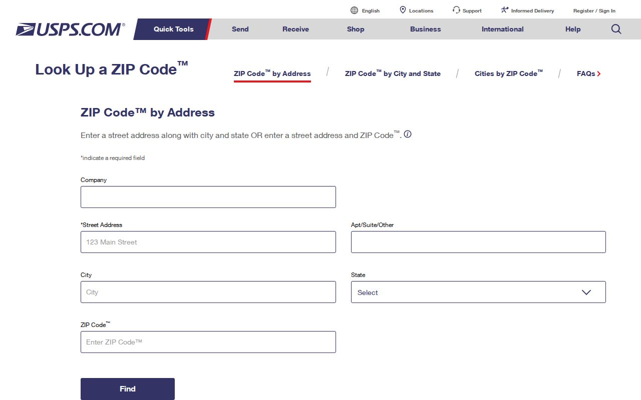
Save the returned delivery ZIP beside the street address, but do not substitute it for a parcel ID or a legal description.
Texas City ZIP Code Search Paths
After USPS confirms a ZIP, use it as a narrowing detail rather than expecting every local portal to run a ZIP-wide roll. My Voter Portal accepts ZIP as part of an individual confirmation search. GCAD, by contrast, documents street name, property and geographic IDs, subdivision, neighborhood, owner, and tax-year fields, but no ZIP field in its public search interface. The county tax search is also keyed to address, owner, or account criteria. The practical Texas City ZIP code directory workflow therefore moves from a verified address to the record type that can prove the needed relationship.
- Check the complete street address and unit in USPS, then record the returned ZIP.
- For an individual voter confirmation, use name, Galveston County, date of birth, and ZIP in My Voter Portal.
- For a parcel, search GCAD by street name and number or a saved property or geographic ID.
- Open the GIS map to compare the parcel with the city-boundary layer, then use deed or plat material for a disputed lot line.
Once a ZIP has narrowed the address, the Texas City streets reference is the better route for a full address-by-address record trail.
Note: A ZIP can narrow a confirmation search, but the source date and its exact address field still determine what the result proves.
Texas City ZIP Fields in Voter Lookup
The Texas Secretary of State’s My Voter Portal uses name, county, date of birth, and ZIP in its lookup process. Select Galveston County for a Texas City search. A returned VUID is a voter unique identifier, and a match is a confirmation clue, not a roster of everyone at an address. A non-match can reflect name spelling, a former name, county choice, date-of-birth entry, status, or list-maintenance timing.
| Portal field | Type | Texas City use |
|---|---|---|
| Name | Text | Use the registered voter’s name and retry a documented former or alternate name when needed. |
| County | Selection | Choose Galveston County. |
| Date of Birth | Date | Helps distinguish people with the same name. |
| ZIP | Text | Use the verified postal ZIP associated with the voter record. |
| VUID | Result | Record the identifier as a match detail, not as a publication field. |
My Voter Portal is an individual lookup. A county or statewide data request follows the separate written public-information process, and protected addresses and identification numbers remain withheld under Texas election rules.
Texas City Parcel Filters Beyond ZIP
GCAD eSearch does not show a ZIP filter in the documented public fields. For a Texas City address, use Street Number with Street Name, and omit prefixes, suffixes, and unit numbers if the first search fails. The portal also offers owner name, property ID, geographic ID, subdivision, neighborhood, abstract, and tax-year choices. Those fields are often more precise than a ZIP because they connect a query to a particular appraisal record.
The Galveston Central Appraisal District property search distinguishes the physical situs from an owner mailing address. The situs is the parcel’s physical location. A mailing address is where tax correspondence goes and may be elsewhere. Neither field supplies a complete list of occupants, so preserve the field label when comparing a result with a postal ZIP.
- ZIP and ZIP+4
- A ZIP directs mail to a delivery area. ZIP+4 adds a smaller delivery segment and is not a property boundary.
- Postal ZIP
- A delivery-routing code assigned by USPS. It can extend beyond a municipal line.
- Situs address
- The physical parcel location used by GCAD, GIS, and many permit records.
- Legal description
- The lot, block, subdivision, abstract, survey, or metes-and-bounds description used in recorded property documents.
Texas City ZIP Code and City-Line Mismatches
Texas City’s three postal ZIPs make a useful routing check, but none is a city-limit test. A Texas City mailing address may sit outside the municipal boundary, and a parcel inside a city line may need a separate delivery verification. For geographic proof, compare the parcel against the official city-boundary layer and then verify a contested edge, lot, or right-of-way in a recorded plat or deed. GCAD also warns that its map boundaries are approximate and informational, not a legal survey.
The Texas City municipal-boundary service provides city-name and geographic-ID boundary information acquired in August 2025.
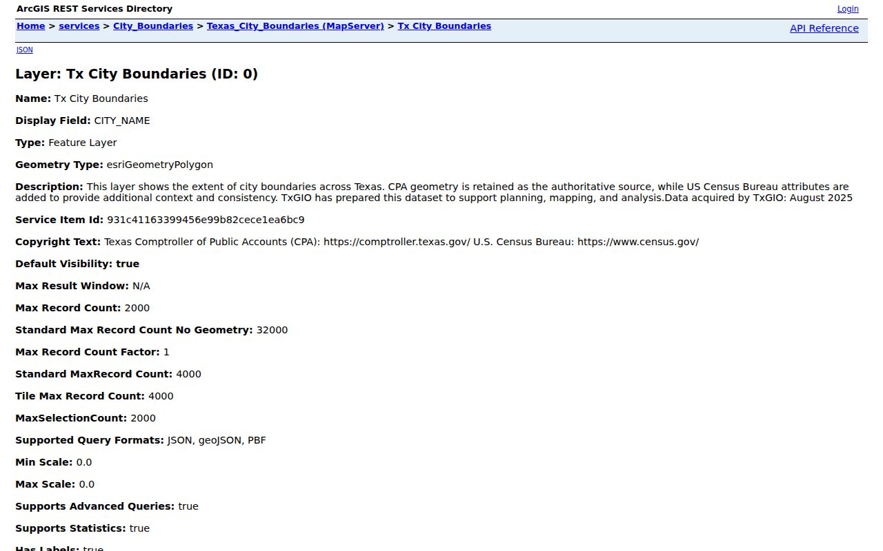
The boundary layer gives a geographic comparison point; it does not turn a postal ZIP into a legal boundary or replace a recorded survey document.
Texas City ZIP Areas and Census ZCTAs
Census ZIP Code Tabulation Areas, called ZCTAs, are statistical approximations used for Census reference work. They are not USPS legal delivery boundaries. That distinction matters when a Texas City ZIP code directory is used with population context or a map: a ZCTA can help describe a broad area, while USPS determines delivery ZIPs one address at a time. The research did not locate a Texas City-specific official overlay that lists every postal and city-boundary mismatch.
The Census geography reference files explain the ZCTA reference layer used for broad comparison.
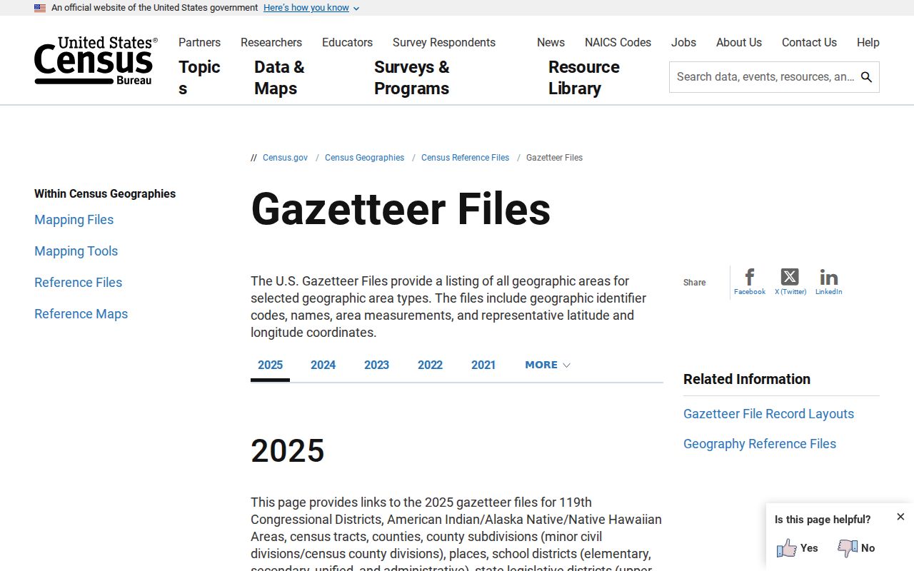
Use a ZCTA for context, then return to USPS and the parcel map when the question concerns one Texas City address.
Texas City ZIP Record Geography
Texas City record work crosses more than one counter. GCAD and its mapping tools are in Texas City, while recorded-property questions may require the Galveston County Clerk. The County Clerk’s Records & Elections Center at 10000 Emmett F. Lowry Expressway, Suite 1152, Texas City, is one local access point; the main Justice Center counter is in Galveston, and League City provides another county counter. For an address that crosses a postal or city-line question, ask the office that holds the underlying parcel, plat, or recorded document rather than relying on a ZIP alone.
Address continuity can be harder than a postal check. The official material did not identify a definitive Texas City street-renumbering year, a full renamed-street list, or an annexation-to-address crosswalk. For a disputed older civic address, begin with Texas City Planning or Engineering and GCAD GIS, then compare historic maps, recorded plats, and the legal description. State the bridge as a sourced inference if no agency record settles it. A postal label may remain familiar even when the street form, subdivision name, or lot description has changed.
For a parcel history, GCAD provides the current appraisal clue and the County Clerk’s recorded documents provide the legal trail. The county’s official page does not state AVA’s earliest online year. When a search reaches that unverified cutoff, use the clerk counter or public terminal and ask about older deed books, indexes, or certified copies. This fallback matters more than guessing that a ZIP or web result reaches every era.
Older address work may also need Moore Memorial’s historical directories, telephone material, maps, or newspaper microfilm. The listed Texas City directory years are not continuous, so a missing volume is a gap in the available run, not proof that no address existed. Keep the date of each source next to the postal and parcel details before drawing a conclusion.
Note: Texas City’s postal geography is useful for finding the right record path, but the custodian’s dated document remains the final check.