
Trace Texas City Street Records
A street search works best when each record answers a different question. The Galveston Central Appraisal District, or GCAD, identifies the parcel, its situs address, owner name, mailing address, and legal-description clues. The situs is the land's physical location, while the mailing address is where tax correspondence goes. They can be different. Use the parcel identifier and legal description to move from the appraisal card to the county's recorded-document index, then use the map to keep adjoining lots and similar street names straight.
The Texas City street directory workflow cannot turn public files into a live roster. It does create a careful address trail. Historical directory entries, a voter confirmation for a known person, permits, and deeds each carry a date and a limit. Record both before drawing a conclusion.
- Search the address in GCAD eSearch. Save the situs, owner and mailing fields separately, along with the property or geographic ID and legal description.
- Open the GCAD interactive map, browse to the street, and click the target parcel. Pan to adjoining polygons only after noting the target identifier.
- Use the owner and legal description in the County Clerk's AVA real-property index to find the newest acquisition deed and its prior grantor.
- For a known individual, use Texas My Voter Portal with the required name, county, date of birth and ZIP. It is an individual confirmation tool, not a street-wide display.
- For an older address, compare the local directories, telephone books and Texas City Sun microfilm available through the historical collections. Keep the volume year with every name.
Note: A parcel card can connect an owner to land, but it does not establish every person who lives at that address.
Search Texas City Streets in GCAD
GCAD's current search offers By Owner, ARB Search, and Advanced paths. For a street, use Street Number with Street Name. GCAD tells searchers not to add a prefix, suffix, or unit number to the street-name field. If the full address fails, try the simple street name. That practical rule matters when a suffix differs between a tax record, a permit, and an old directory.
| GCAD field | Type | Required | Texas City search note |
|---|---|---|---|
| Owner Name | Text | No | Last Name First Name |
| Street Number | Text | No | Pair with street name |
| Street Name | Text | No | No prefix, suffix, or unit number |
| Property ID | Text | No | Use the exact ID when known |
| Geographic ID | Text | No | Use the exact map-linked identifier |
| Subdivision | Autocomplete | No | Select from the subdivision search |
| Neighborhood | Autocomplete | No | Select from the neighborhood search |
| Abstract | Autocomplete | No | Select from the abstract search |
| Condo | Autocomplete | No | Select from the condo search |
| MobileHomePark | Autocomplete | No | Select from the park search |
| Doing Business As | Text | No | A property clue, not residence proof |
| Owner ID | Text | No | Exact owner identifier |
| Tax Year | Dropdown | No | Values load in the portal |
| Property Type | Dropdown | No | Values load in the portal |
| Protest Status | Dropdown | No | Advanced appraisal criterion |
| Informal Date | Date | No | Advanced date criterion |
| Hearing Date | Date | No | Advanced hearing criterion |
| Formal Date | Date | No | Advanced formal-date criterion |
| Board Members | Dropdown/search | No | Dynamic values |
A returned parcel card can show owner and property IDs, the situs and mailing addresses, subdivision or lot details, land and building characteristics, values, and exemption indicators. Homestead information is an appraisal clue. It is not proof that every person connected to a home is present there.
Map Texas City Streets in GCAD
The GCAD map is the useful second check when a street name appears in more than one record system. Its published layers include parcels, street centerlines, subdivisions, lot lines, city boundaries, school districts, MUDs, WCIDs, drainage districts, emergency-service districts, and neighborhood maps. The parcels, street centerlines, subdivisions, lot lines, city boundaries, MUDs, and WCIDs were listed as updated April 14, 2026. Map boundaries remain approximate and informational, not a legal survey.
The address workflow is strongest when a clicked parcel supplies an ID that can be checked against the appraisal search and deed record, instead of relying on a map position alone.
Texas City Street Directory Sources
Address-keyed records are not interchangeable. GCAD is the current appraisal layer. The County Tax Office's public tax search accepts owner name, property address, account number, long account number, and fiduciary number. AVA is the recorded instrument route. MGO and the city department document construction and inspection work when releasable. Each source should be read for the limited fact it actually records.
| Address record | Custodian | What it can establish | Access route |
|---|---|---|---|
| GCAD parcel card | Galveston Central Appraisal District | Owner, mailing and situs addresses, IDs, legal clues, value, and exemptions | Free eSearch and map; online cutoff not stated |
| County tax account | Galveston County Tax Office | Owner, address, account, long-account, or fiduciary clues | ACT web search; historical cutoff not stated |
| Deed, plat, lien, or release | Galveston County Clerk | Parties, recording date, instrument or book-page, and legal description | AVA and clerk counter; online cutoff not stated |
| GIS parcel view | GCAD GIS | Parcel adjacency and public district context | Interactive map; boundaries are approximate |
| MGO permit or inspection | Texas City Building Inspections | Address, project, applicant or owner, inspection dates, and releasable plans | MGO for new processing; department or PIA for earlier records |
| Voter record | Texas SOS or county registrar | An individual's registration/status clue and permitted election metadata | MVP or written request; not a complete street roster |
| Historical directories | Moore Memorial or Rosenberg collections | Dated address, telephone, spouse, or related historical clues | Archive, reading room, and digital access vary |
The Texas City street directory should keep an owner mailing address labeled as mailing, not occupancy. A legal description, such as subdivision, lot, block, abstract, or survey language, is often the bridge when an address changes form or does not work in the deed index.
Texas City Street Directory Deed Trail
The County Clerk holds the authoritative recorded documents. From a GCAD parcel, copy the current owner and legal description, then follow the County Clerk's records-search route to AVA. Search the current owner as grantee to locate the acquisition instrument. Its prior grantor, recording date, document number, volume or book-page, and legal description point to the next earlier transaction. Repeat the earlier-name search as far as the evidence supports.
Use a different route when the online search stops. The county does not publish AVA's earliest online year in the accessible official material. The County Clerk records-search page and the Clerk's counters are the documented fallback. The Texas City Records & Elections Center and the Galveston Justice Center can clarify whether a public terminal, deed books, or certified copies reach further back than the web interface.
- Parcel
- A taxable land unit in the appraisal system, identified by a property or geographic ID.
- Situs address
- The parcel's physical street location, which differs from the owner mailing address when tax mail goes elsewhere.
- Plat
- A recorded map that sets out lots, blocks, streets, or rights-of-way in a subdivision.
- Criss-cross directory
- An address-first directory arrangement used to find historical names associated with a street number.
Record flow: situs address → GCAD parcel ID and legal description → AVA acquisition deed → prior grantor → earlier deed or clerk-counter record.
Texas City Addresses Beyond ZIPs
A Texas City mailing address does not by itself prove that the parcel lies inside the city limit. USPS lists 77590, 77591, and 77592 as Texas City postal ZIPs, but postal routing and municipal geography answer different questions. This is the local quirk that can make a street search look more certain than it is. Verify a deliverable address with USPS ZIP Lookup, then compare the parcel with a city-boundary layer before describing its civic location.
GCAD's city-boundary, lot-line, subdivision, and district layers supply the local context. For a disputed street or right-of-way, verify the boundary with the recorded plat or deed instead of treating the map as final.
Texas City Street Voter Checks
The state voter portal can confirm a known Texas City person when the searcher has the name, Galveston County, date of birth, and ZIP. A match can display a VUID and voter-registration details selected for public display. It cannot produce an open list of every voter on a street. A missed match can reflect a spelling, name change, county, date-of-birth, status, or list-maintenance issue.
The Secretary of State's public voter-data request form asks for a county, district, or statewide scope and delivery details. Public voter fields remain limited, and protected addresses and identification numbers stay confidential. Do not use a street-record trail to reconstruct a protected address.
Texas City Permit Address Trail
Permit records can date changes to a building and identify the project, applicant, owner, inspection dates, or certificate information when the record is releasable. Texas City says new building permits and inspections have been processed in MGO since June 4, 2025. For address history before that transition, ask Building Inspections for existing records or make a written Texas Public Information Act request. The MGO login path does not establish a public historical search cutoff.
Texas City's MGO permit and inspection route is the source shown in this street-directory image.
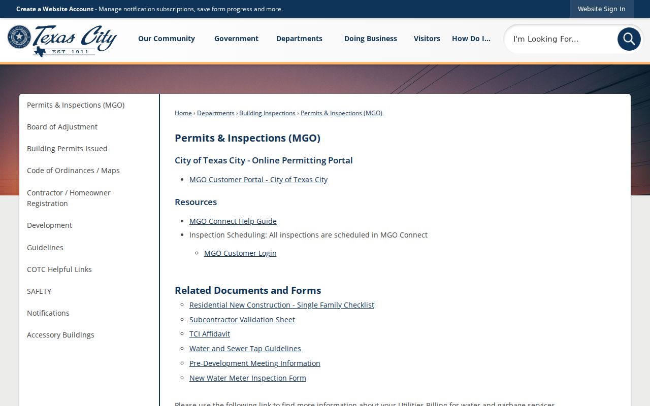
The department keeps a separate path for records that predate the MGO workflow, so an empty portal result is a reason to contact the custodian, not proof that no permit exists.
Texas City Building Inspections is the source shown in the following address-record image.
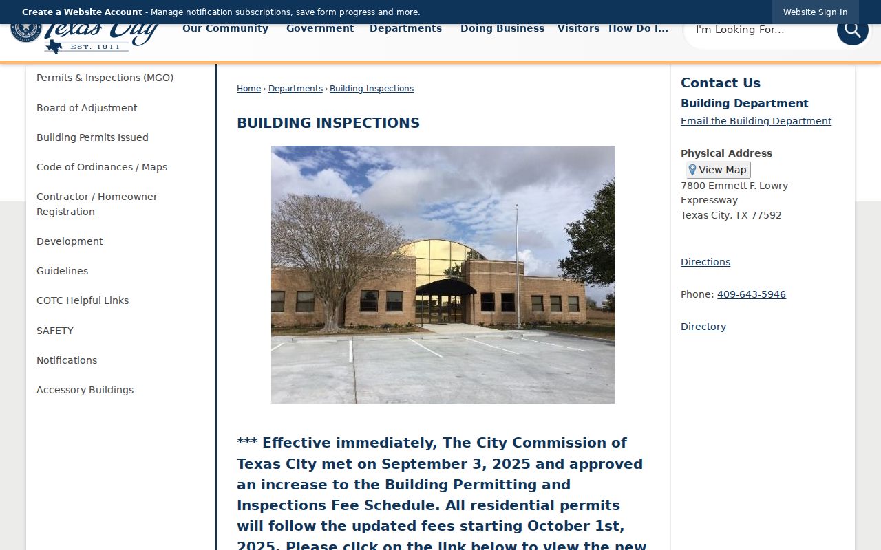
Building Inspections is the documented custodian for a pre-MGO permit or inspection question, including records that do not appear in the account-based route.
The Galveston County tax search supplies the address, owner, and account fields displayed in the next Texas City street directory image.
Tax-account results can be a useful corroborating clue, but the deed and recorded plat remain the better sources for a transfer or legal-boundary question.
Texas City Street History Clues
For a past occupant, read a street alphabetically in the local directory or telephone volume, then compare the house number and nearby years. Moore Memorial holds Texas City directory runs for 1938, 1941-42, 1944, 1947, 1949, 1951-52, and 1957-58. Rosenberg's Galveston & Texas History Center lists Texas City and La Marque telephone directories for 1963-1993, noted as not inclusive. Texas City Sun microfilm covers 1934-2004 at Moore. These are dated snapshots, not proof of a current household.
The city's early growth in rail, industry, schools, and churches can place an address in a different source family before it appears in a directory. Historic maps, recorded plats, and a legal description are safer bridges than an assumed street-renumbering year. Official accessible material did not identify a definitive citywide renumbering or annexation crosswalk.
Texas City Street Directory Limits
A public address search cannot reveal everyone at a property. It does not supply utility customer information, motor-vehicle address data, sealed court or vital records, protected voter addresses, or a complete list of other household members. My Voter Portal confirms a person under its stated criteria, and a written voter-data request still excludes protected fields. The historical directory collections may show a telephone subscriber or a publisher's ownership-status mark in a particular volume, not an exhaustive household.
Lawful use. Texas City street records are for personal, lawful research and property history. Do not use them to stalk, harass, intimidate, or harm anyone.